The Future of Satellites in Precision Agriculture
Precision agriculture has found its way into the mainstream. The extent of its ability to influence crop inputs remains to be seen. It’s clear, however, the explosion of drones and other smart technology in the agriculture space will continue to influence the industry, and manufacturers and distributors must adjust their businesses to accommodate the revolution the technology will bring.
In the buzz about drones and other technologies it’s easy to forget that one of the “older” technologies is still quite viable. Satellite technology has been around for decades and continues to serve the ag industry well. AgriBusiness Global™ interviewed Alexander Sakal, CSO of EOS Crop Monitoring, to get his thoughts on the current and future state of satellite technology and how it might impact the crop input industry.
How has satellite imagery/data changed over the past few years?
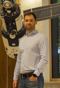
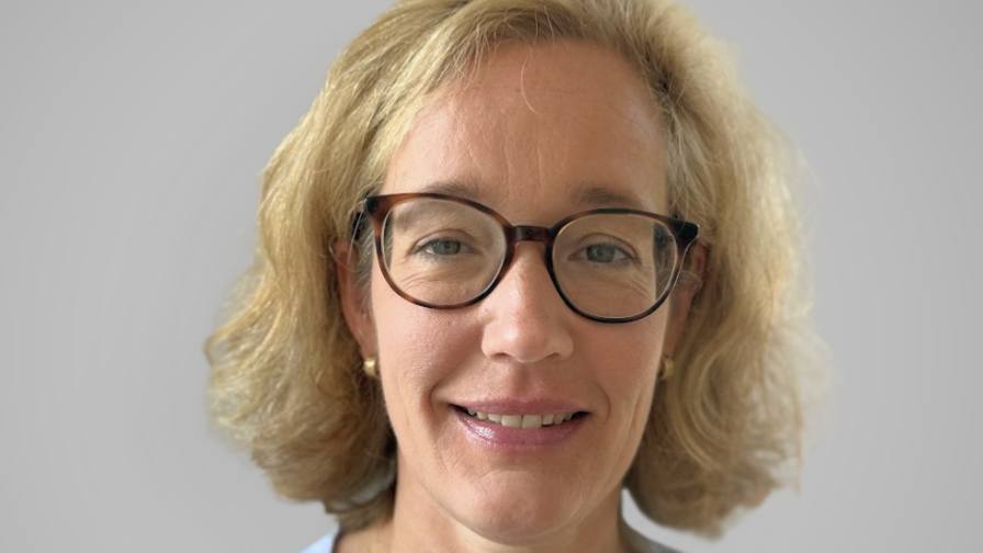
Alexander Sakal, CSO of EOS Crop Monitoring.
Alexander Sakal: Satellite data and imagery is not something technologically new. In fact, the first images from space were taken in 1946, even before the first satellites were launched. Data usage for both military and civilian purposes was getting bigger, more advanced as satellites began to capture it with various sensors that detect radiation, light emission, radio waves, and so on. This allowed for the monitoring of inaccessible areas of the planet, but the problem was that this information was usually either classified or unavailable for regular users. Technically, the way satellites operate today is not much different from, say, 30 years ago. However, the way we reach satellite data, process, and benefit from it is absolutely different. The agricultural sector is a great illustration of the advantages satellite monitoring provides for business.
Modern trends are making satellite data accessible in every sense. Moore’s law came to space, making hardware cheaper, more efficient, and plentiful. Agencies like NASA or ESA make satellite imagery publicly available while the big data and neural networks bring powerful tools to automate data analysis. All of this attracts more investments in space technology and accelerates the changes even further. So, yeah, satellite observation now becomes a rich resource for decision making, and that’s what we do for the agricultural sector with EOS Crop Monitoring.
Your system incorporates satellite imagery, AI, and weather information along with AI. Can you talk about how those work together to help growers make decisions (specifically focusing on what impact it has on crop inputs)?
AS: Satellite monitoring uses images, sensors data, and weather forecast tools. However, I prefer the term “machine learning” instead of AI. Machine learning algorithms allow us to define the type of crops, field boundaries today, and opens new directions to develop functionality such as soil fertilization guidance in future updates. Crop inputs depend on hundreds of factors, and some are even impossible to predict. Satellite crop monitoring helps farmers stay informed about the temperature, weather conditions on selected areas while historical sowing (currently available only for Black Sea region), and crop data display average metrics in the area. Based on this information, farming specialists can make relatively precise crop yield predictions, and this is what defines the effectiveness of technology. As an example, farmers can spot the correlation between factors to drive their decisions when managing a farm or monitoring fields for inaccurate growth progress before issues become significant.
Obviously, this technology is able to generate volumes of useful data. How is that data analyzed and then used? Who does the analysis and makes recommendations? Who owns the data?
AS: At this point, satellite monitoring itself does not make any self-dependent recommendations on farming. It translates the satellite data into agricultural information for an analyst to review.
Technically, we do not “generate” data. All the data initially comes from satellites. Or more accurately, from satellite operators such as ESA. This data is public and open for commercial use; however, it takes some time to process and analyze raw information. Upon request from a user, the system connects to satellite databases, retrieves data, and visualizes it in UI dashboards in a matter of seconds.
How will the technology change/improve over the next few years? What will it enable growers to do/know about their crops that they don’t know now?
AS: Satellite crop monitoring technology is not meant to teach farmers to do their jobs. It rather helps to understand which agriland spot requires more attention at a given time. To illustrate where our industry is headed, I can tell you a bit about our solution. At this point, at EOS Crop Monitoring we work on delivering the automatic detection of crop growth stages, notification system with agricultural tips, development of vegetation type database, neural network optimization, and other functionality. On a separate point, I’d like to mention fertilizer management optimization and soil moisture level detection as something that is not currently on top of our immediate priorities but what we’d like to have over the next few months.
As the technology continues to evolve, how will it affect crop inputs?
AS: Again, it’s all up to the field owner and a number of other factors; however, it could already be noted that this data allows you to significantly reduce scouting expenses, which is especially beneficial for bigger landowners. And we do know that differentiated fertilizer application, for instance, combined with satellite monitoring can save up to 30% in fertilization expenses while generating the same amount of crop. So, we can already see the positive effects of innovation.
What areas of the world have embraced this technology, and what type of return are they getting on their investment?
AS: It’s no secret that in the food production industry North America holds the leading positions in terms of technology adoption. According to our information, over 30% of American farmers use satellite imagery data while 60% to 90% are applying yield monitors and other precision agriculture solutions in general. In this regard European, Asian, and South American countries are lagging behind, but I’m sure they will catch up in a matter of years. Currently, we are well represented in Eastern European and Middle Asian countries. The market here shows great commitment to innovation. Another promising region for satellite crop monitoring is Africa, where farmers skip entire evolutionary stages in terms of their agriculture to adopt innovative models and technology. Regarding the ROI, you can’t be specific on profitability of remote sensing and satellite monitoring until they drive a decision that will create a positive outcome. Sometimes there is nothing, while in other cases it can identify an issue, saving thousands to millions of dollars.
What are the biggest challenges to further adoption of this technology?
AS: When it comes to adoption of geospatial technologies, our biggest challenge is the lack of trust among farmers, as they often seem reluctant to follow through on the learning process. They want to see concrete numbers before you can convince them. There’s also a common belief that satellite technology is too expensive and using it is not cost-effective. On the technical side, satellite monitoring sometimes encounters data abnormalities caused by atmospheric effects or signal jamming and errors in neural network calculations, which makes it less precise than, say, drone monitoring. Another thing is internet coverage.
How can those challenges be overcome?
AS: I believe that the trust factor mainly relies on the advantages, complexity, adaptability, and image of a given solution. By working on functionality, while bearing in mind the simplicity and compatibility on both software and hardware levels, while carrying out a user-oriented communication framework, we can do miracles. The best way I see to deal with technological problems is machine learning algorithm enhancement and adoption of additional space technology, such as newer satellite models. And as for the internet connectivity – it’s certainly a global issue that will work itself out in the nearest years.
There are many parts of the world that are not particularly sophisticated when it comes to the technology available to wealthier growers (and arguably the greatest benefit can be had there). Is there a way for poorer countries/growers to use these technologies to help these farmers?
AS: The only thing you need to implement satellite monitoring is an internet connection, and as I mentioned, there are limitations coming from this side. Otherwise, technology is quite affordable. For example, the price for our solution is at $99 for 1,000 hectares of monitoring, which is around $0.10 per hectare. We believe that it is a very cost-effective investment that will be quite affordable even for underprivileged farmers. Besides, it makes no difference for the satellite which region to monitor. If the field lies under the open sky, it can be monitored and analyzed.
What else should readers know about this technology?
AS: Even though this technology was designed primarily as a solution for farmers, it is not limited to agricultural benefits. Insurance companies might take advantage of its functionality. For instance, the ability to assess field conditions beforehand, measure land potential based on sowing records over the past years (whether the land is exhausted or not), examine weather records to confirm or retract an insured event, and so on. For banks, the satellite imagery can be used to estimate crop inputs based on the data from previous years to ensure responsible lending decisions or review vegetation risks based on the NDVI and other indices. Traders and agricultural machinery dealers can evaluate the market size and estimate demand levels in specific regions. And even software companies can use the satellite data for their startups.

